 vesseltracker.com
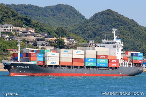
Find the position of the vessel A KOU on the map. The latter are known coordinates and path.
marine traffic ship tracker show on live map
The current position of vessel A KOU is 20.48867 lat / 38.00566 lng. Updated: 2023-07-07 16:31:49 UTCCurrently sailing under the flag of Panama
A KOU built in 2007 year
Deadweight:
12773 tDetails:
Last coordinates of the vessel:
2023-07-07 16:31:49 UTC, 20.48867, 38.00566, course: 329, speed: 15.6